Site LUA-29
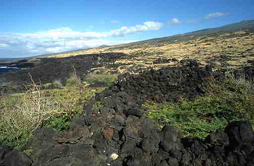
The horizon to the WNW viewed along the southern wall of the older, ko‘a part of heiau LUA-29. Pu‘u Pīmoe is conspicuous on the horizon in the center of the photograph, while Pu‘u Hōkūkano is just visible up the slope on the right of the photo. (Photo by Clive Ruggles; colour version of figure 6.17 in the book)
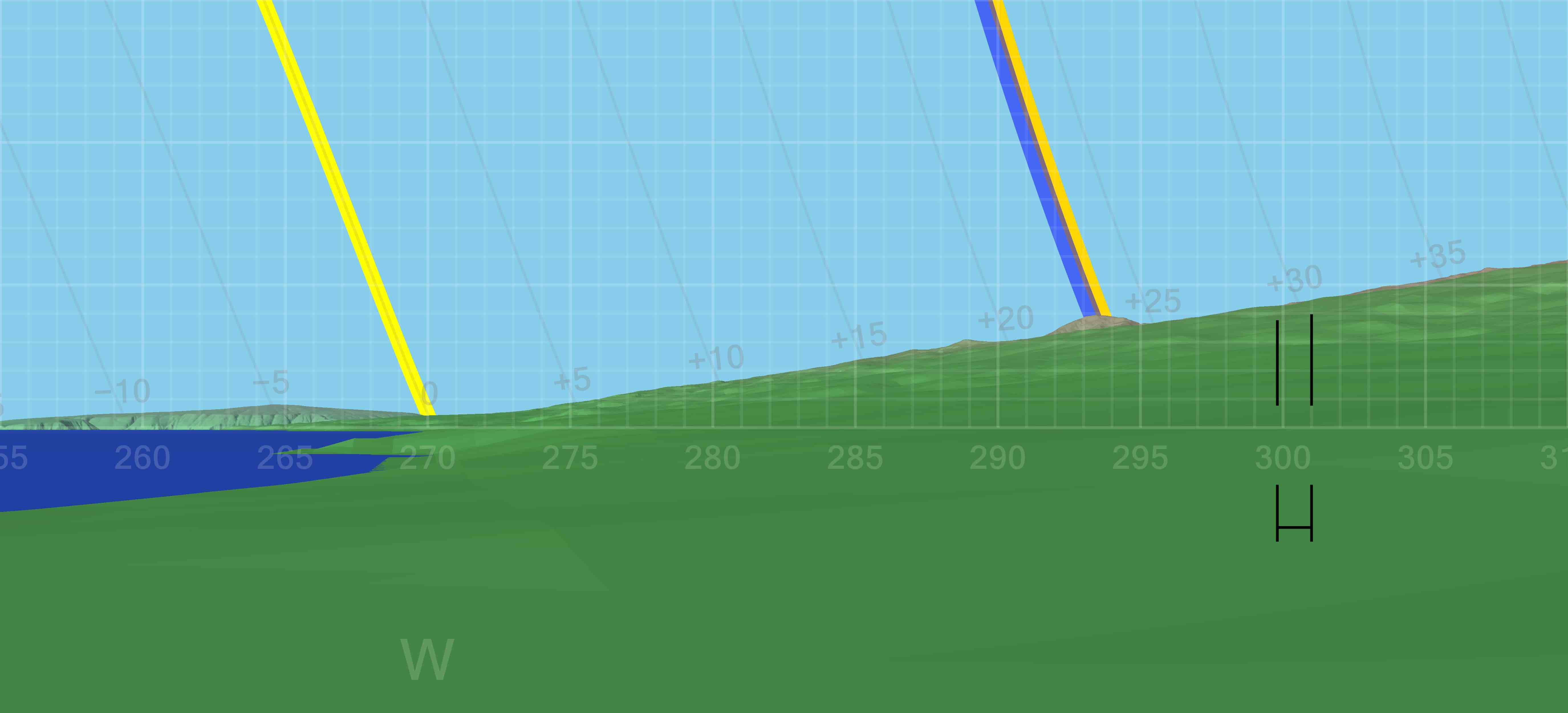
DTM-generated profile of the horizon to the W and WNW as seen from heiau LUA–29. The horizontal bar indicates the direction of orientation of the heiau. The darker yellow line indicates the setting path of the sun at the June solstice; the lighter yellow line the setting path of the sun at the equinoxes; and the blue line the setting path of the Pleiades in A.D. 1650. (Graphic by Andrew Smith; colour version of Figure 6.18 in the book)
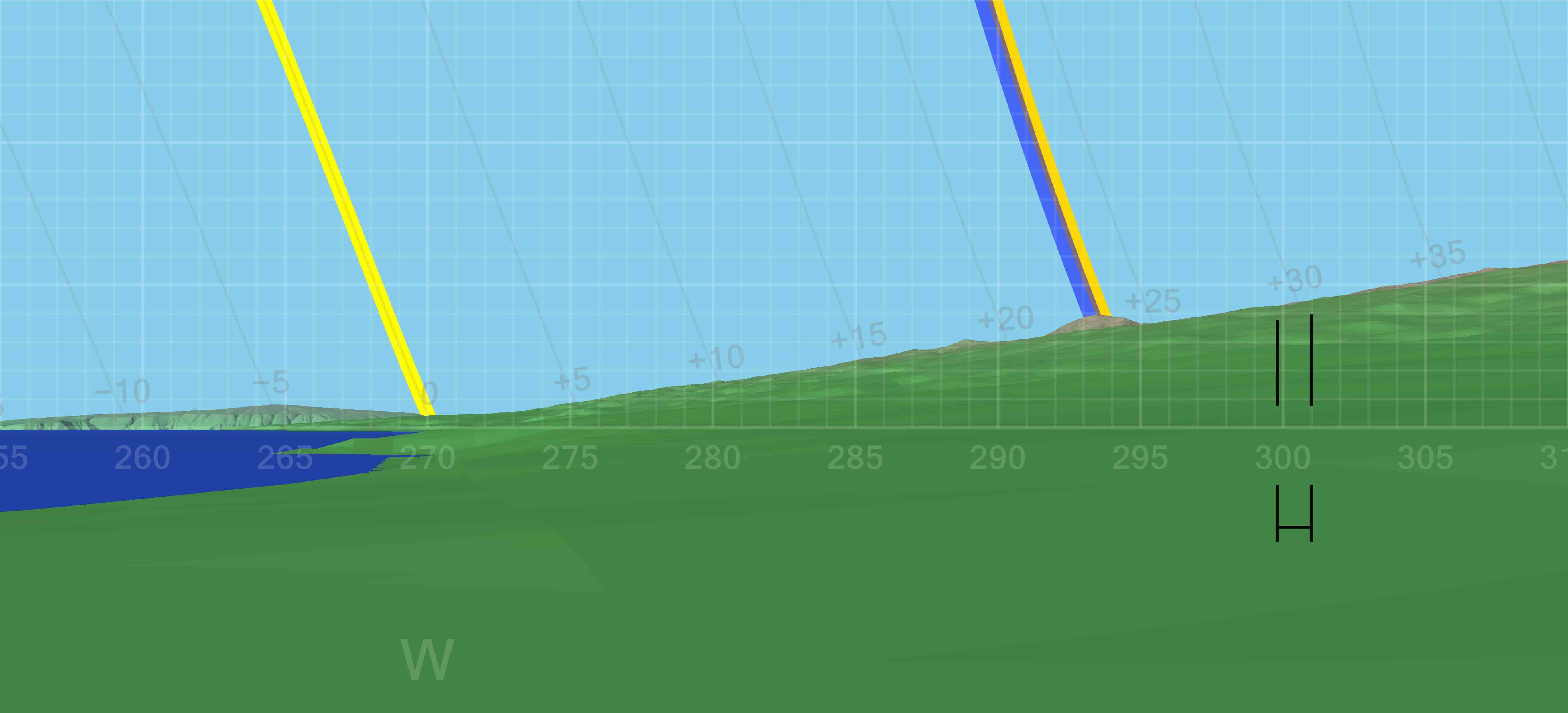 DTM-generated profile of the horizon to the W and WNW as seen from heiau LUA–29. The horizontal bar indicates the direction of orientation of the heiau. The darker yellow line indicates the setting path of the sun at the June solstice; the lighter yellow line the setting path of the sun at the equinoxes; and the blue line the setting path of the Pleiades in A.D. 1650. (Graphic by Andrew Smith; colour version of Figure 6.18 in the book)
Notes
- For a site plan see figure 6.15 in the book.
- Figure 6.16 in the book shows an aerial view of heiau LUA-29 and the notched pānānā wall.
- For orientation data see the Additional tables page.
- For all-round horizon profiles at this site see the All-round profiles page.
Return to the Additional figures page
