
Heiau, ‘Āina, Lani
Supplementary online materials
Additional figures
Site KAU-994 (Lo‘alo‘a Heiau)
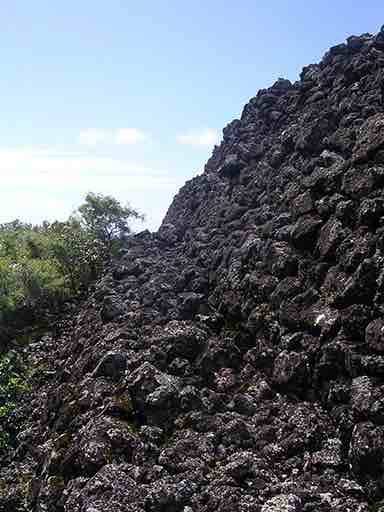
View along the base of the ENE side of the platform at Lo‘alo‘a, towards the SSE, showing the stepped terraces. (Photo by Clive Ruggles; colour version of figure 8.22 in the book)
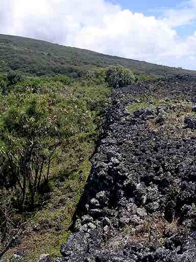
View along the top of the NNW side of the platform towards the ENE. (Photo by Clive Ruggles)
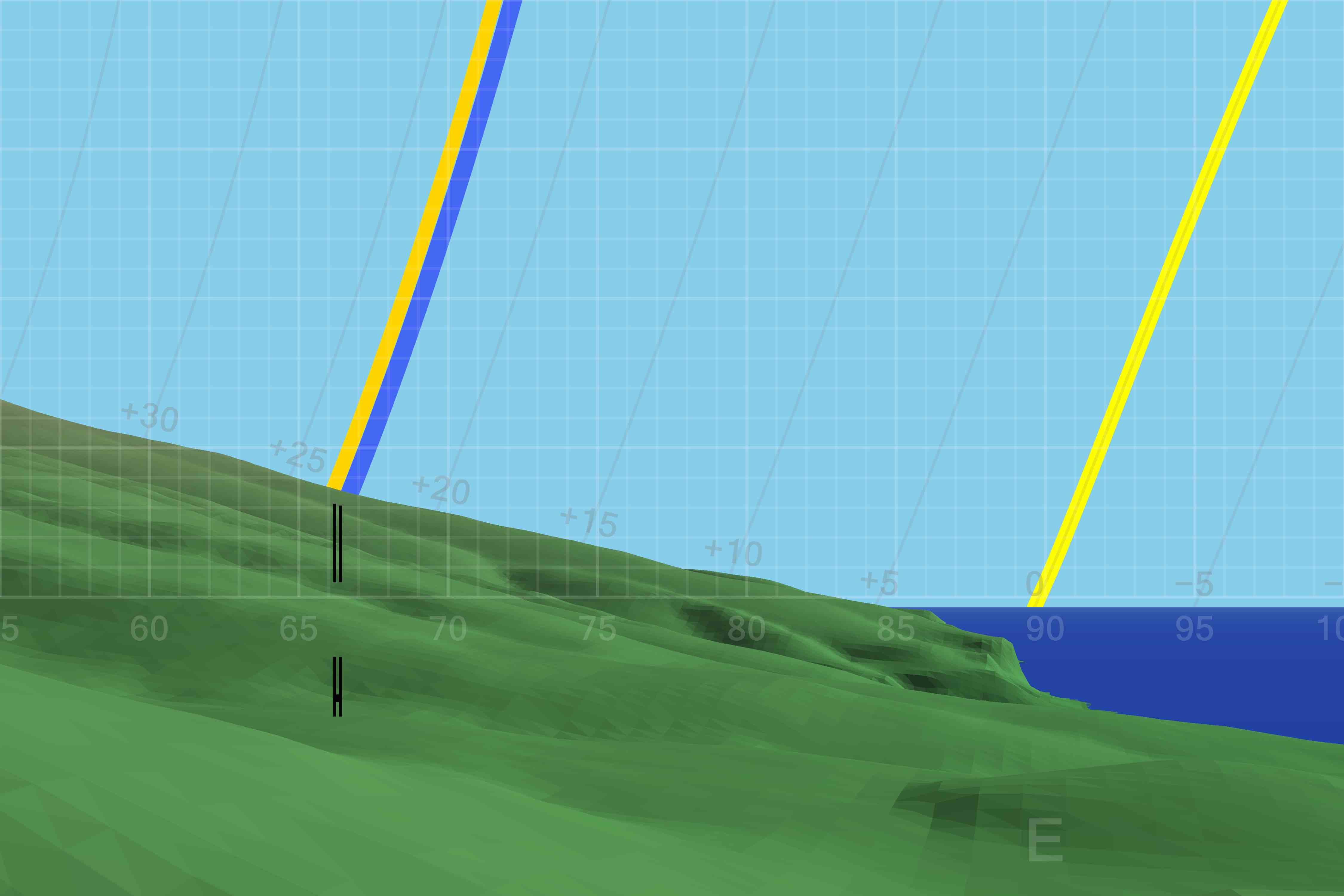 DTM-generated profile of the horizon to the ENE and E as seen from Lo‘alo‘a Heiau. The horizontal bar indicates the heiau’s principal direction of orientation. The darker yellow line indicates the rising path of the sun at the June solstice; the lighter yellow line indicates the rising path of the sun at the equinoxes; and the blue line indicates the rising path of the Pleiades in AD 1600. (Graphic by Andrew Smith; colour version of Figure 8.23 in the book)
Notes
- For a site plan see figure 8.21 in the book.
- Figure 3.14 in the book shows an OxCal plot of radiocarbon dates obtained by M. Kolb from excavations at Lo‘alo‘a Heiau.
- The front cover of the book shows an aerial view of Lo‘alo‘a Heiau in its landscape setting, as does figure 8.20.
- For orientation data see the Additional tables page.
- For all-round horizon profiles at this site see the All-round profiles page.

Return to the Additional figures page